PICTURESQUE PRAIRIES
PRODUCTIVE PRESERVATION ON A PETROLEUM PLANET


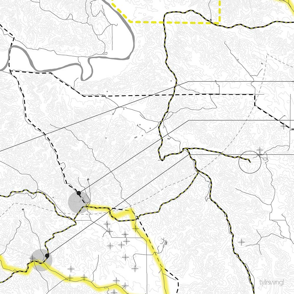
In a forgotten arid region in southwest North Dakota, two opposing territories share a confrontational and volatile border. Theodore Roosevelt National Park and the Bakken Oil Field are separated by lines drawn with barbed wire fences and legal status while both are fighting for their future existence within the Little Missouri watershed. Under a green-washed perspective of anti-industry, the two territories are opposites: one is preserving nature while the other is producing from nature. However, this project exposes the two territories have more in common with one another than modern perspectives permit. The future of the two not only effects this region, but the next generation of sustainability.
MODERN DICHOTOMY PRODUCES A BOARDER BETWEEN NATIONAL PARK AND OIL FIELD
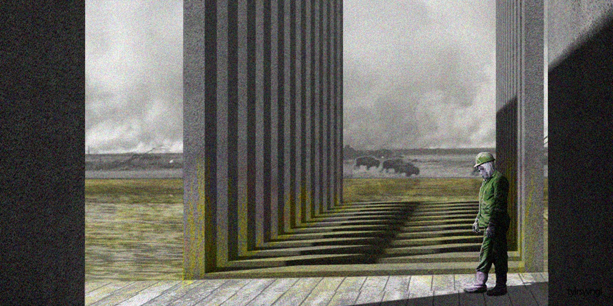
Theodore Roosevelt National Park, and any national or state park, have been identified as sites of historic relevance and/or natural beauty. They are the iconic emblem of wilderness and wildlife in the United States and offer refuge for many different species, including humans escaping the urban environment. They are the nature, protected from development and preserved for future generations. The Bakken Oil Field, and any other oil and gas field in middle United States, is the antithesis of what modern thought classifies as natural. Drilling into the earth, fracturing shale and extracting resources violates any conception of a naturally occurring process. These are the externalities of society, developed and produced for future generations. The distinction between the two orders, nature and society, natural and symbolic, is laid over vast territories in the western USA. The compartmentalization of land and land use has isolated actors and networks in the same region and provides the conceptual basis for engaging with each actor separately and in isolated conditions.
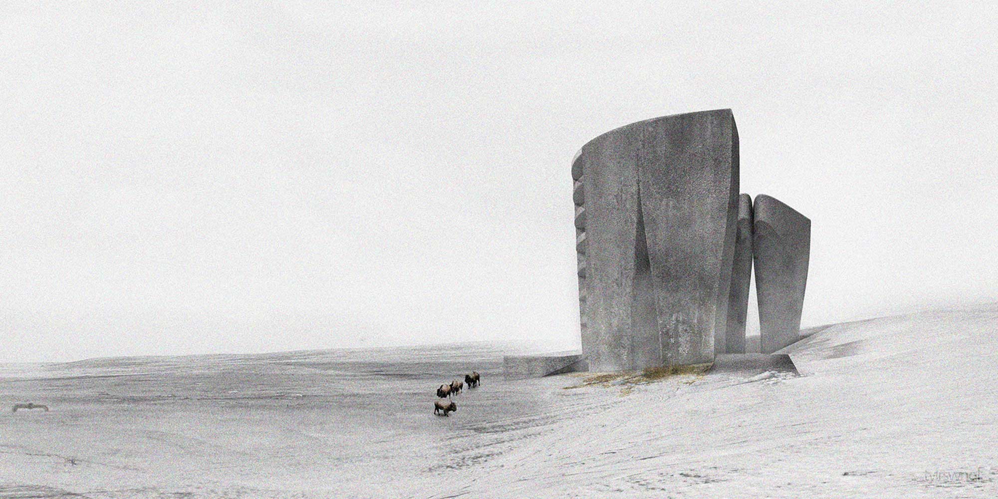
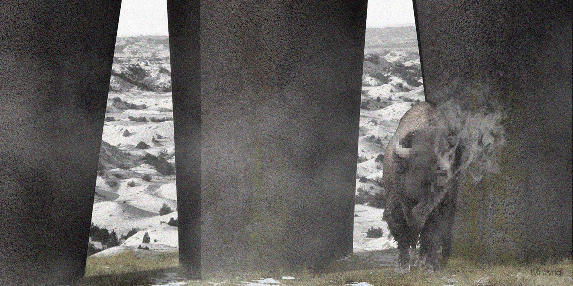
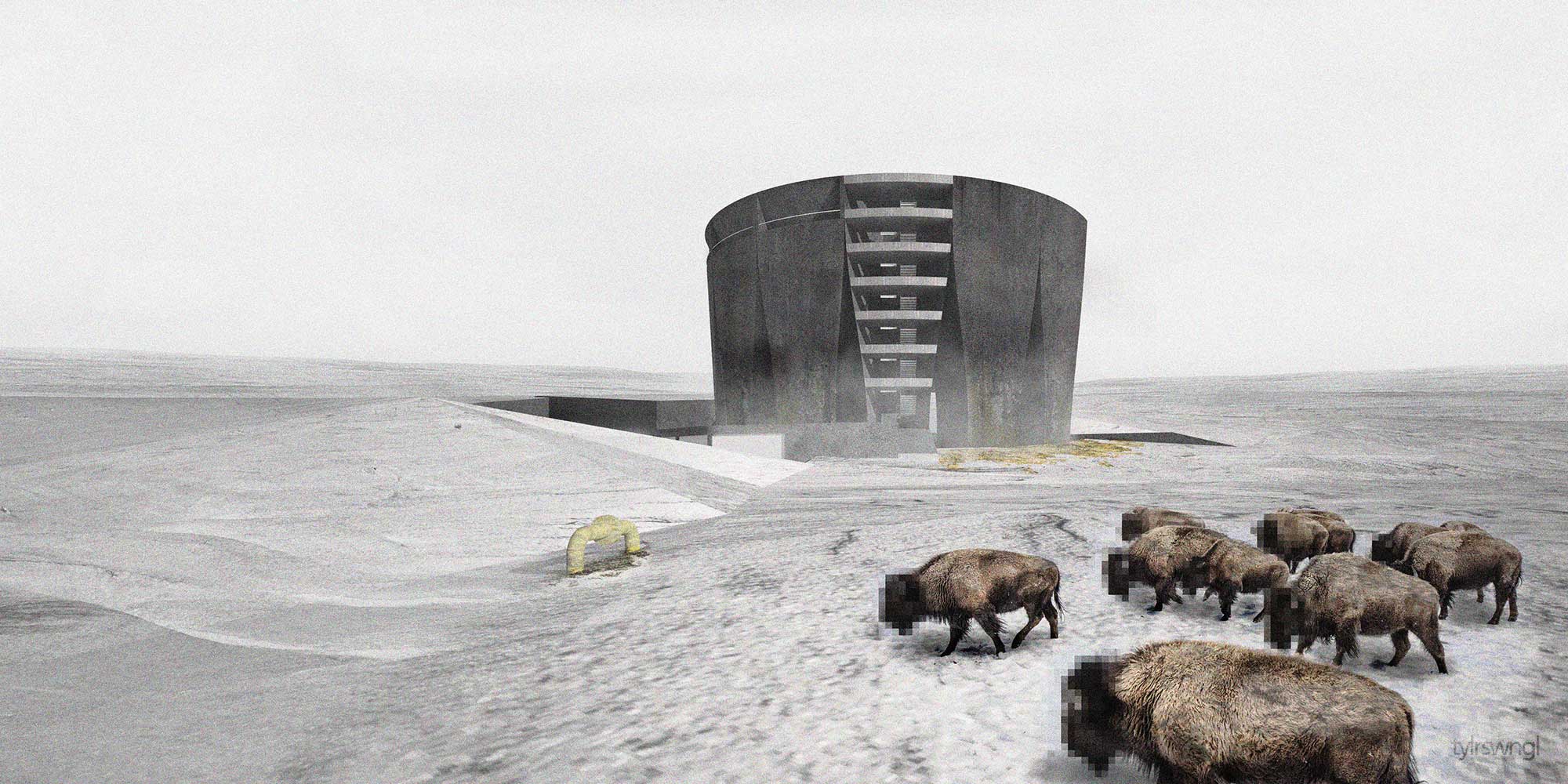
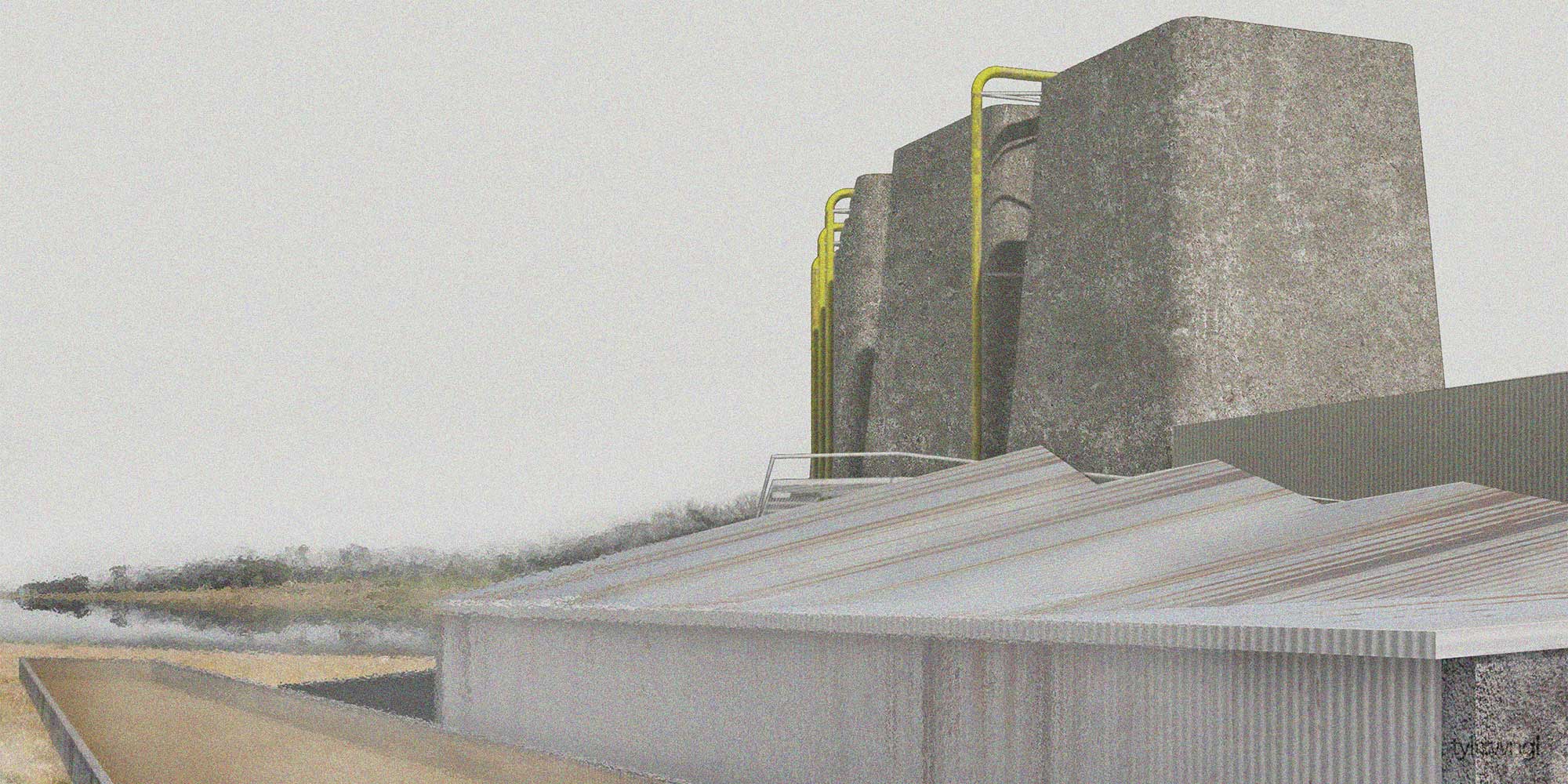
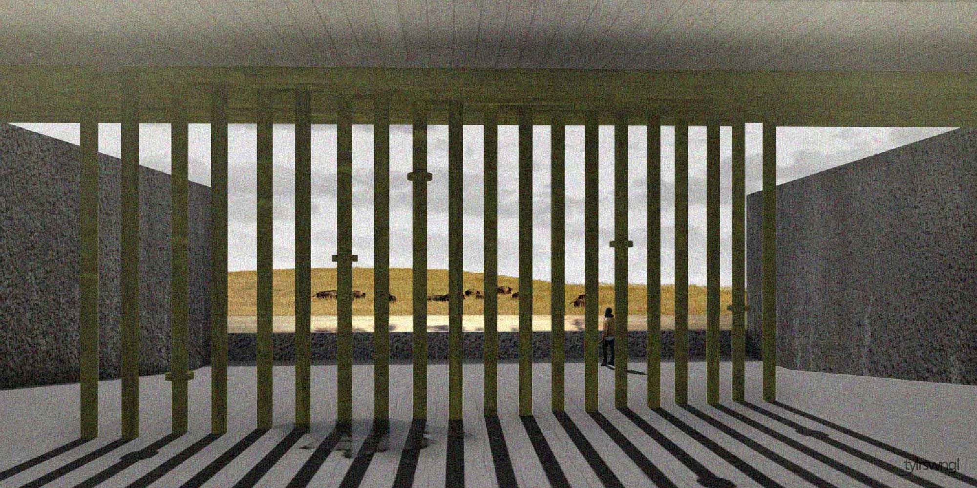
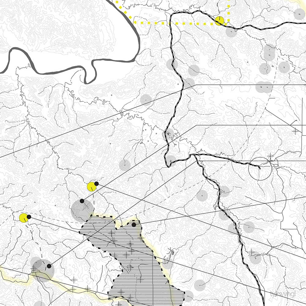
This project re-assembles the actor-networks of national parks and oil fields to produce a shared territory on the Maah Daah Prairie in North Dakota. In combining the two networks, dependencies, externalities and opportunities overlap and a symbiotic relationship is established. The project investigates what types of planning methods are needed in this shared territory and what type of built forms are produced in order to facilitate the combined network.
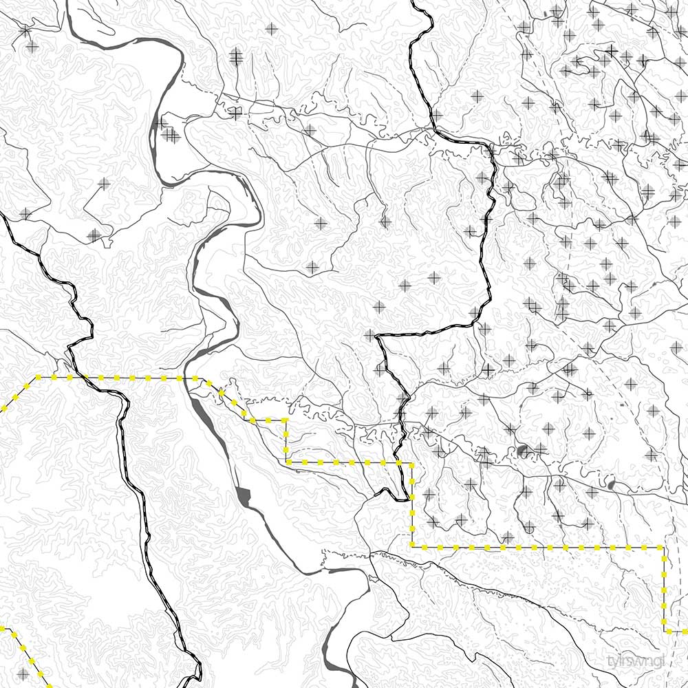
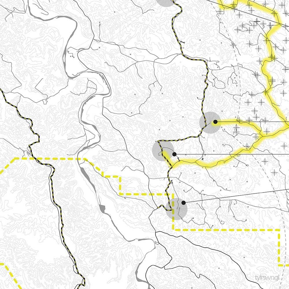
PORTS TO PLAINS CORRIDOR
Located along the Port to Plains corridor, the site is one of many that highlights the volatile adjacency of our modern dichotomy between nature and society. As a prototype, this project has a ability to be adapted anywhere along the corridor and extends the scale of thinking and consideration about shared networks beyond local instances to continental scale.
NORTH DAKOTA AQUIFERS AND OIL RESERVOIRS
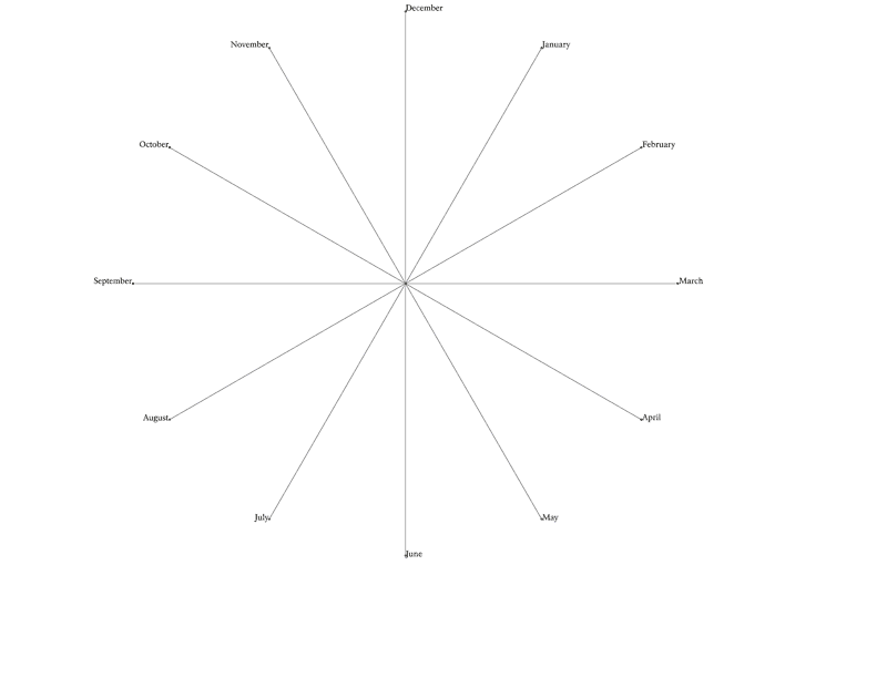
SEASONAL ROUND
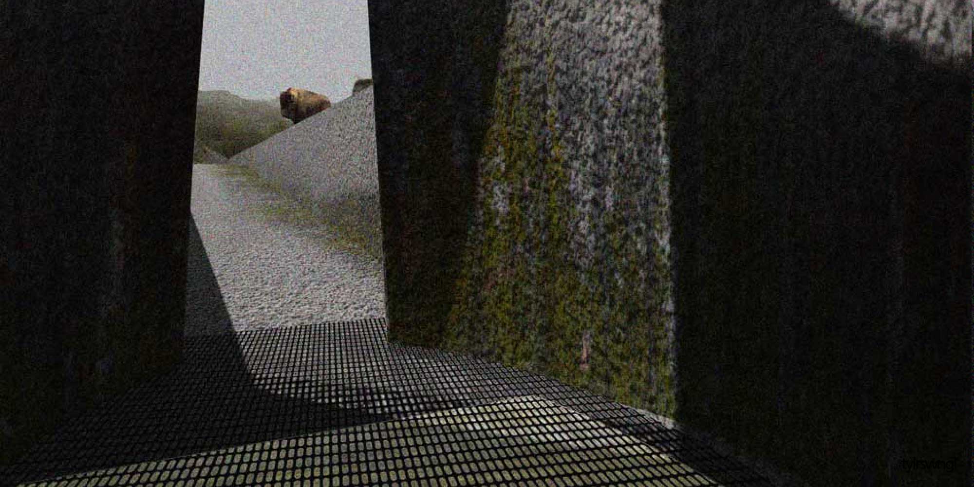
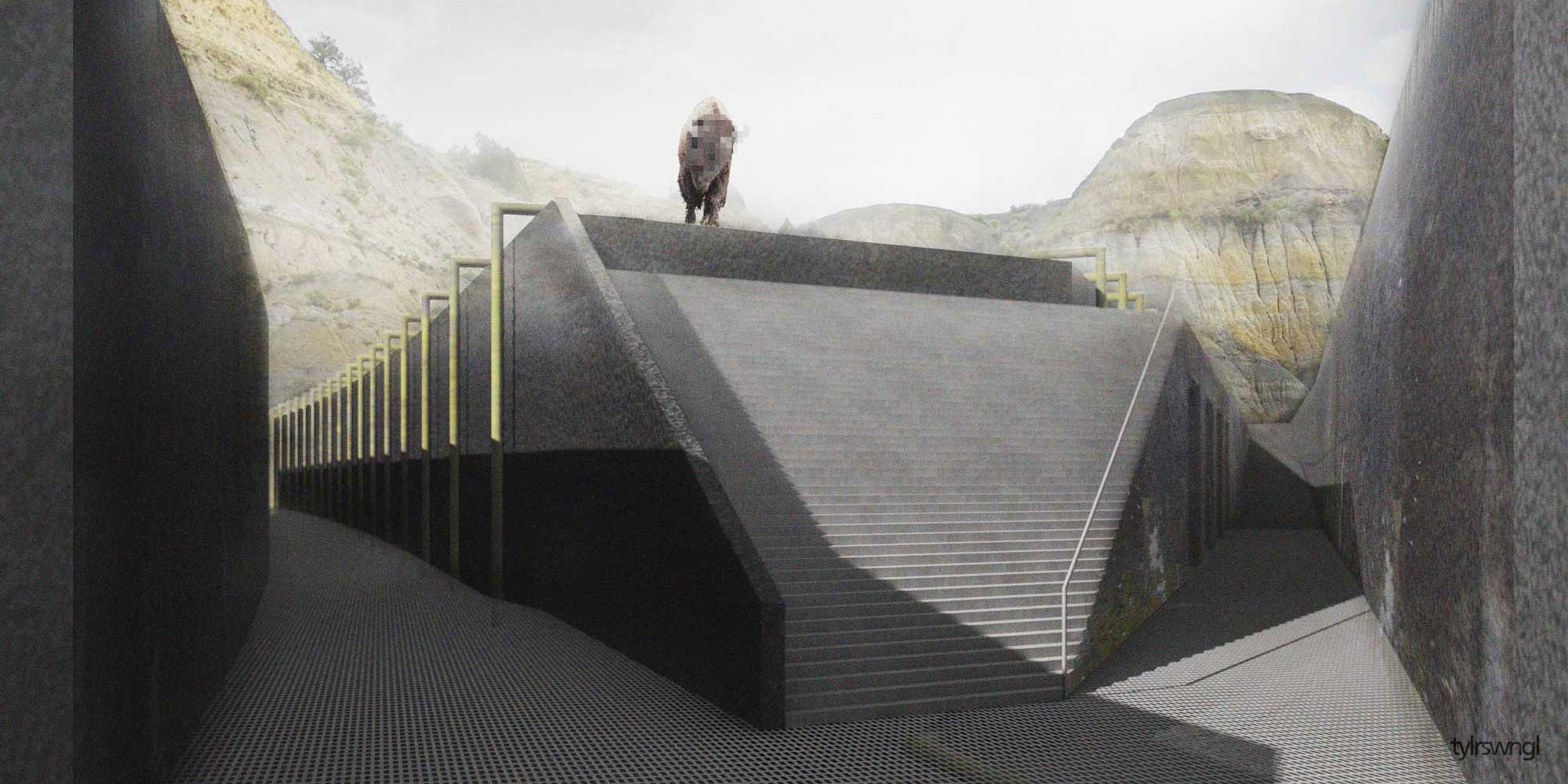
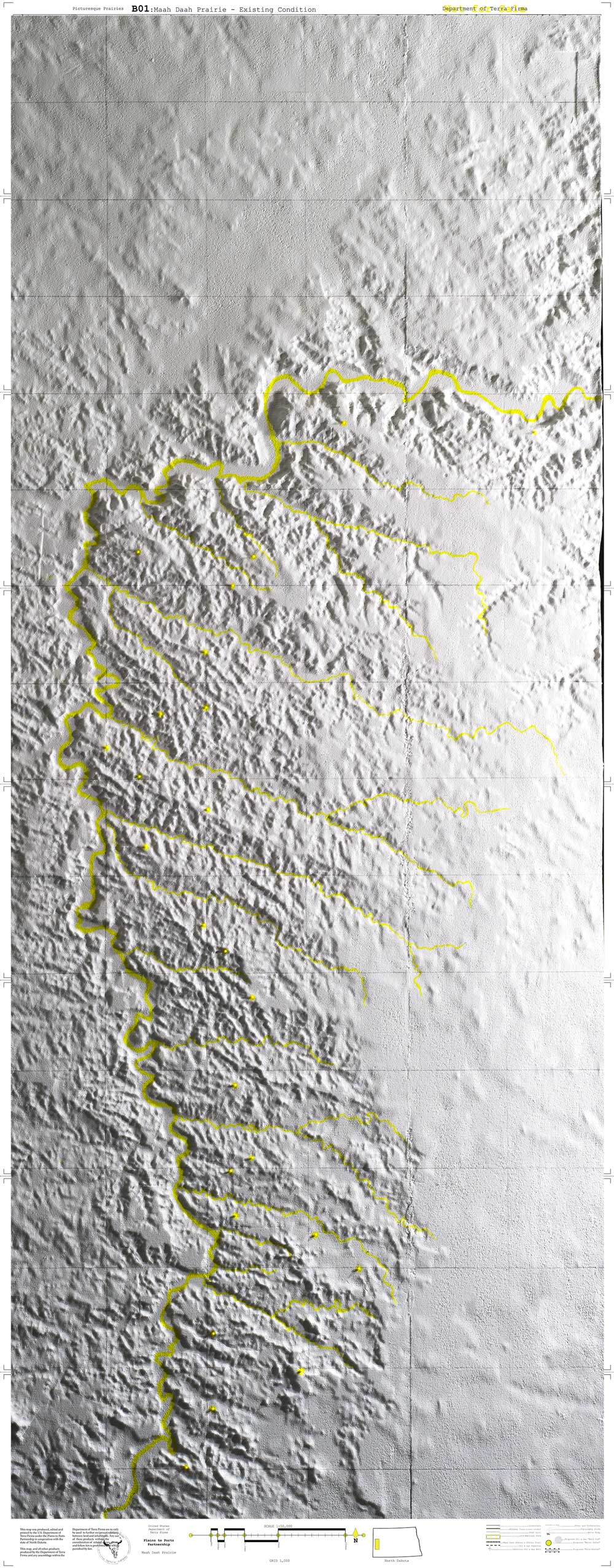
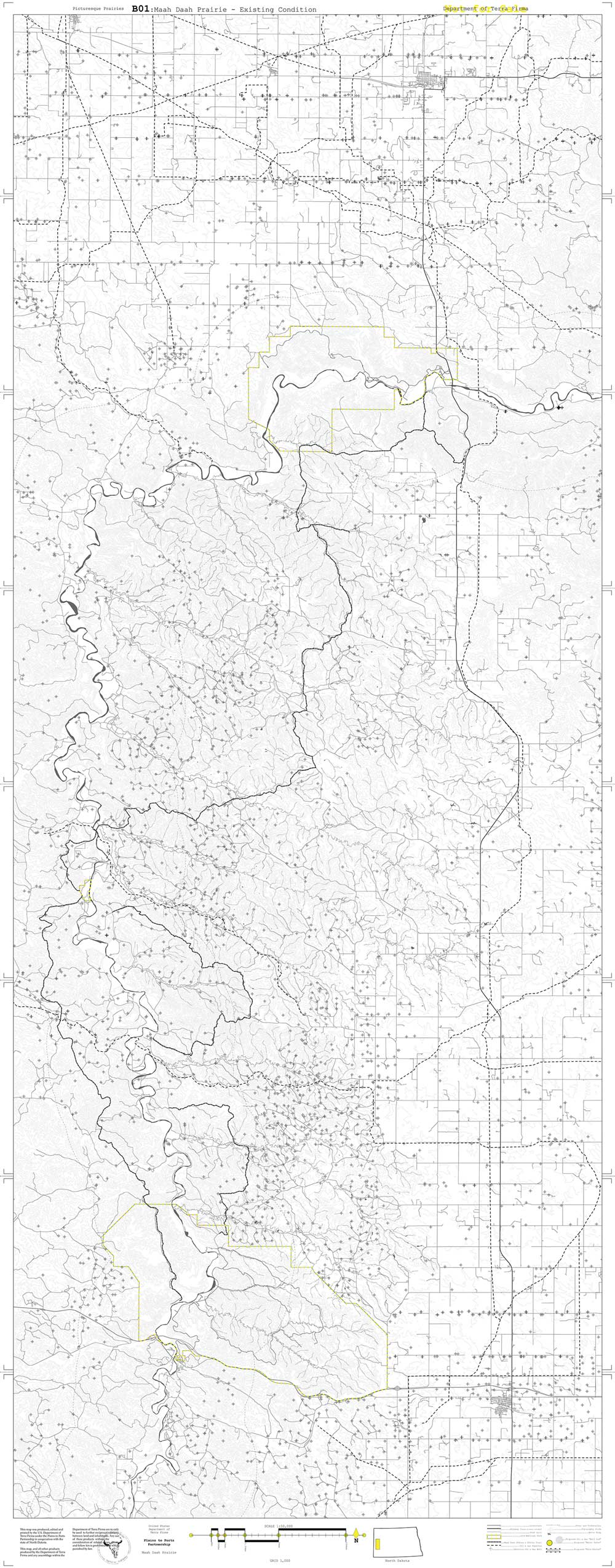
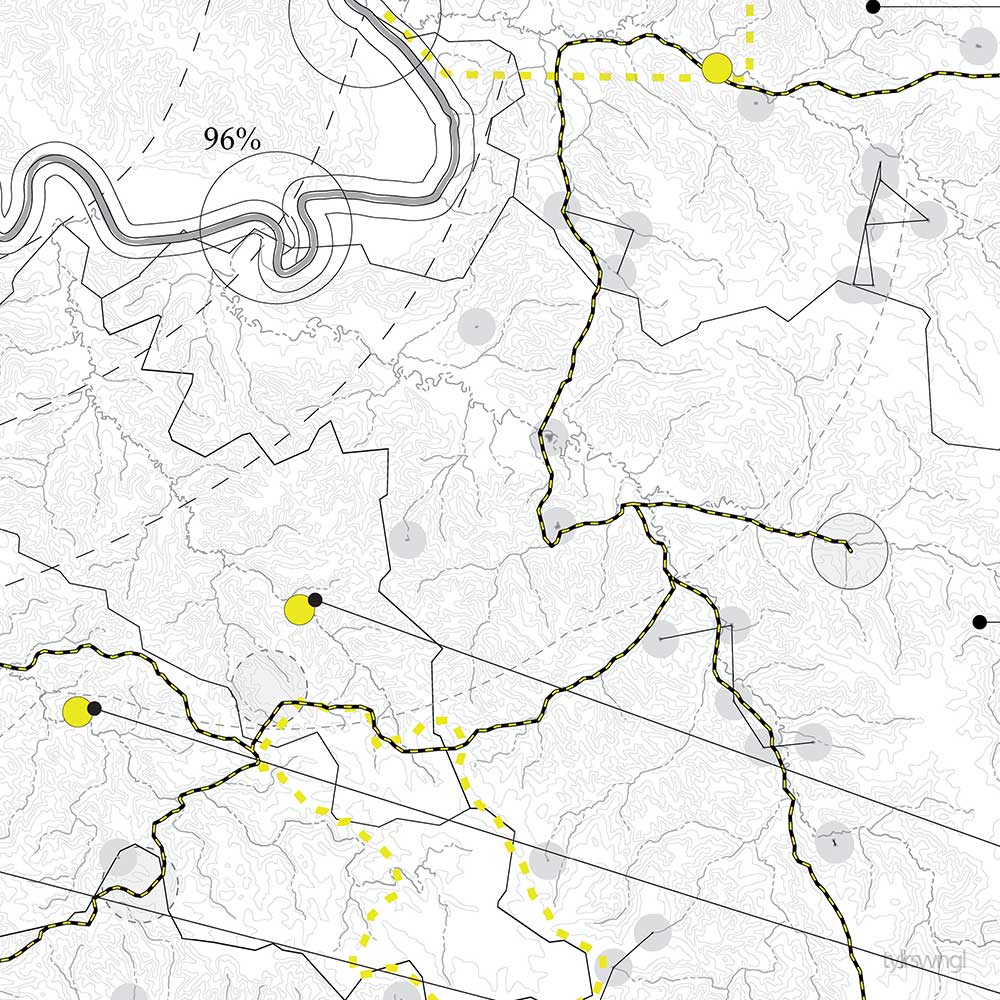
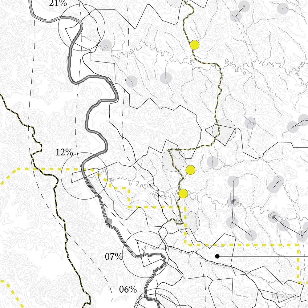
The subterranean formations under the Maah Daah Prairie has determined much of the use on the surface. Sediment composition near the surface is easily eroded from the snow melt runoff in the spring and summer. This not only has developed the scenic topography that we see today, and established itself as a landscape of beauty and distinction, but also provides winter relief from prairie winds and snow.
The sediment topography and fast erosion has limited the possibility for runoff water to sink into the earth and create an aquifer. In the badlands region of North Dakota, there are no freshwater aquifers because the water flows too rapidly into the Little Missouri River. Flora in the area is accustom to the intense water runoff. Short and long grass grow on the plains of the prairie and larger shrubs can be found near run off tributaries. In order to support the human development of the region, either as urban or agricultural, farms and cities need a consistent source of fresh water.
Deeper, almost 6 km, is the Bakken ‘play’ or the “Bakken Total Petroleum System (TPS) encompasses strata from the Devonian Three Forks Formation, Bakken Formation, and lower part of the Mississippian Lodgepole Formation that may contain Bakken-sourced oil.” Within these geological formations, the USGS has estimated there is 7,383 MMBO, 6,726 BCFG and 527 MMBNGL. As an increase from 2008, the assessment spurred an increase in extraction development in the area.
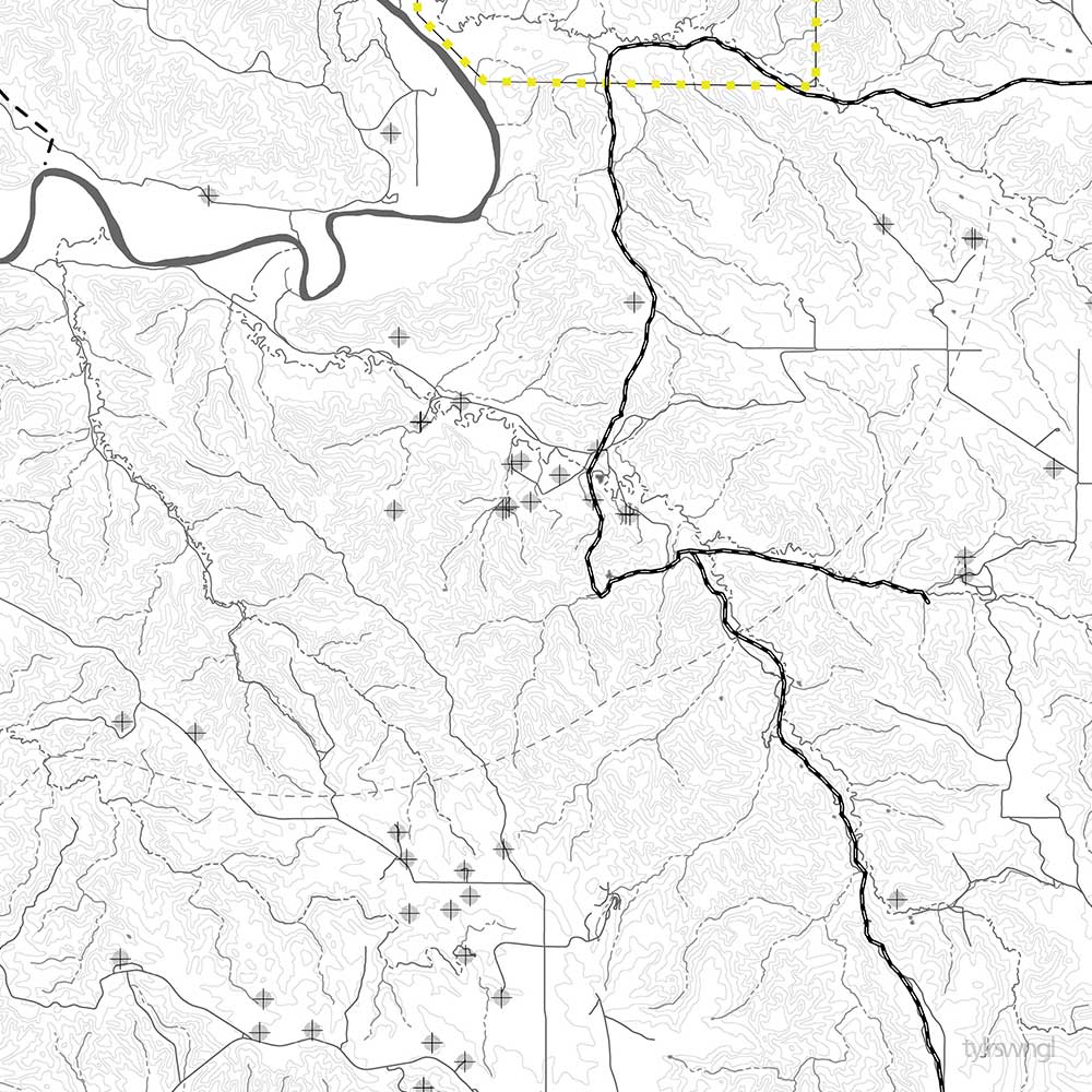
Besides the main highway, dirt roads make up most of the access infrastructure for eco-tourists, ranchers and the fracture drilling industry. If the land has not been deemed scenic and falls within the boundary of the national parks or developed into a drill pad, it is most likely used as grassland grazing for cattle. Tall grasses thrive in the aquifer-less region and provide a good food source for cattle and bison, as well as other large and small mammals in the area.

BISON HABITAT

WELL ENGINE HABITAT

HUMAN HABITAT

CORE SAMPLE
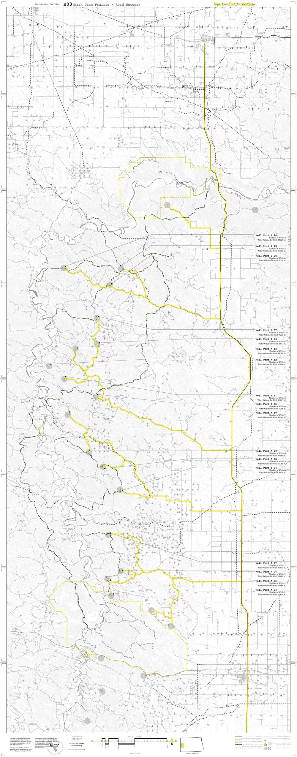
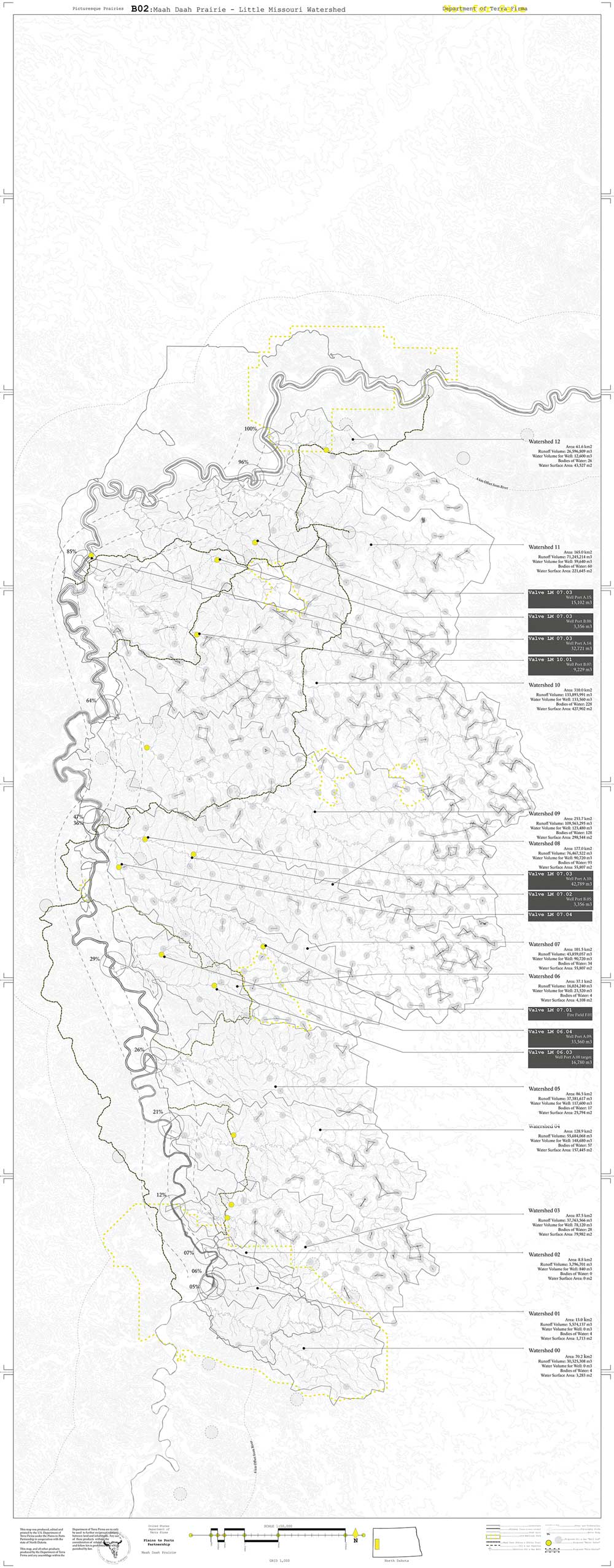
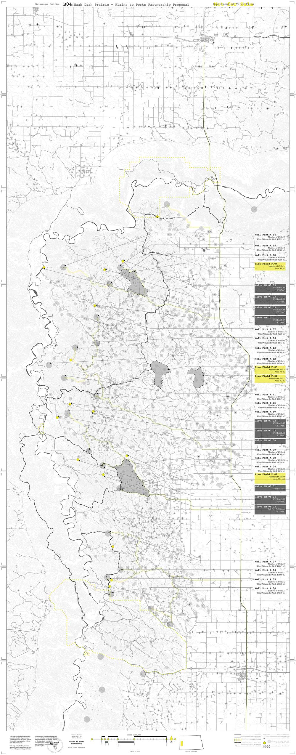
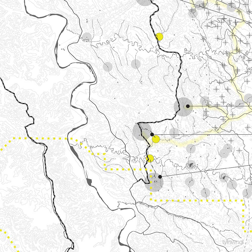
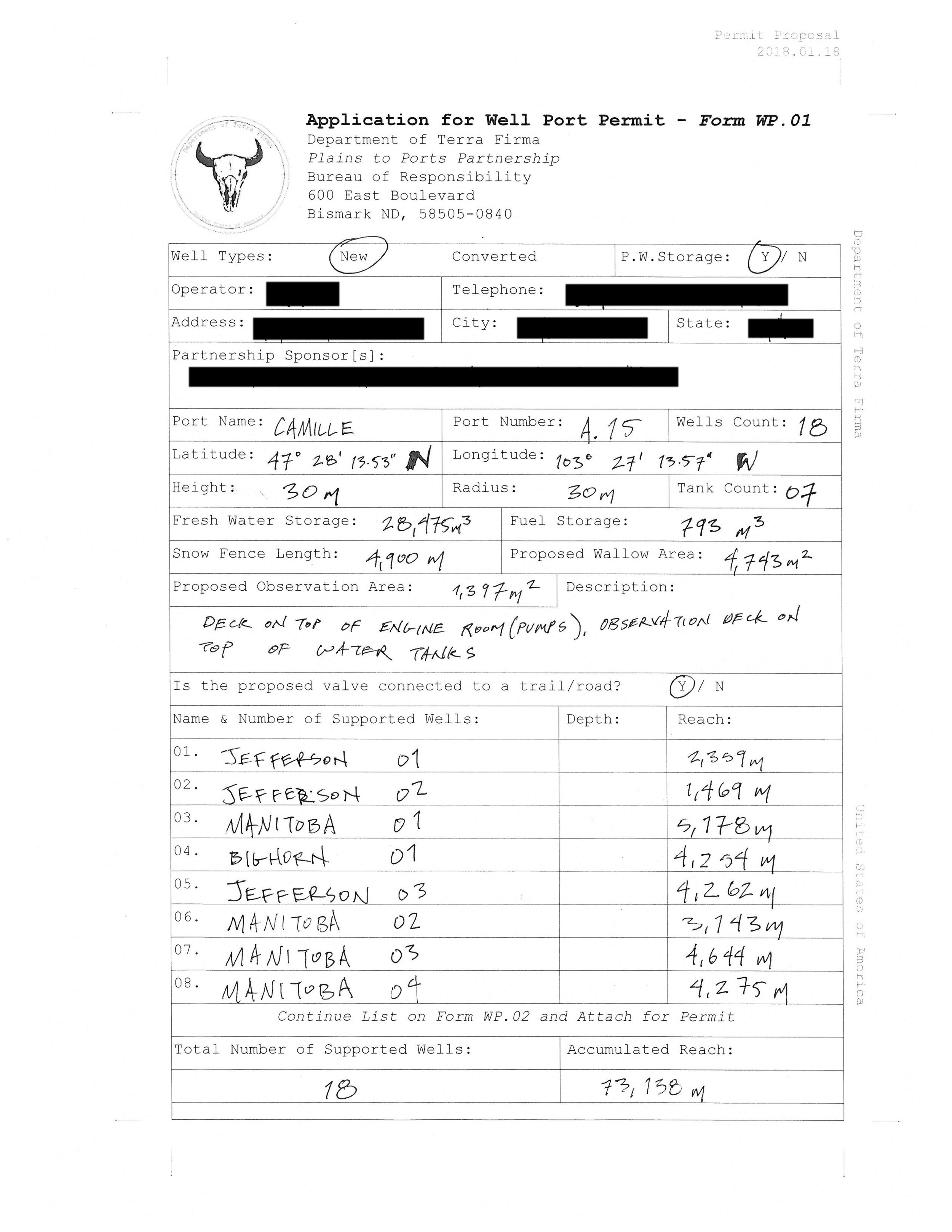
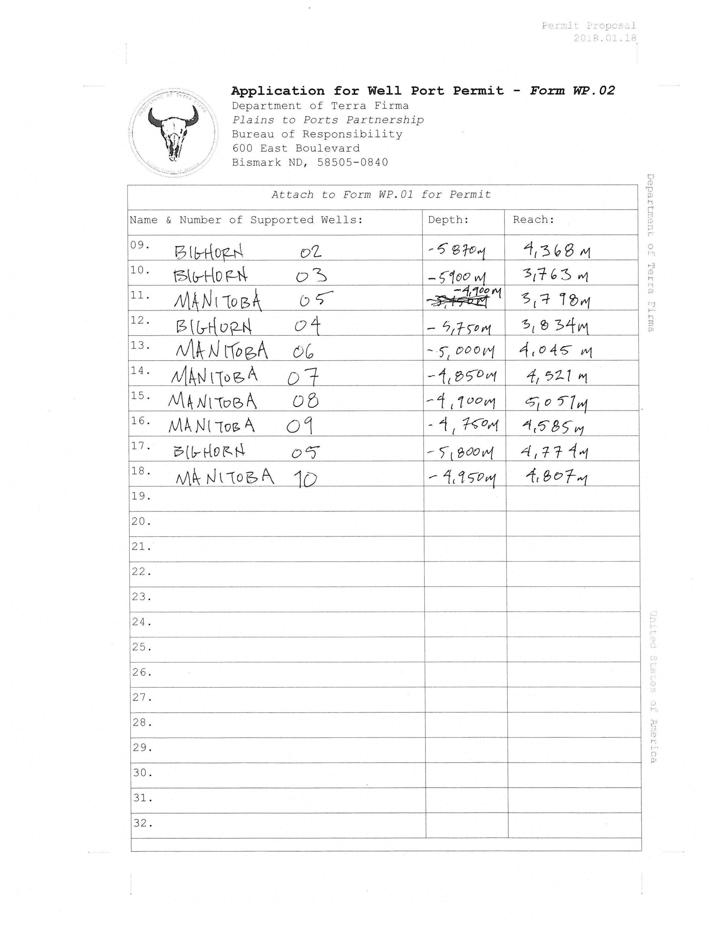
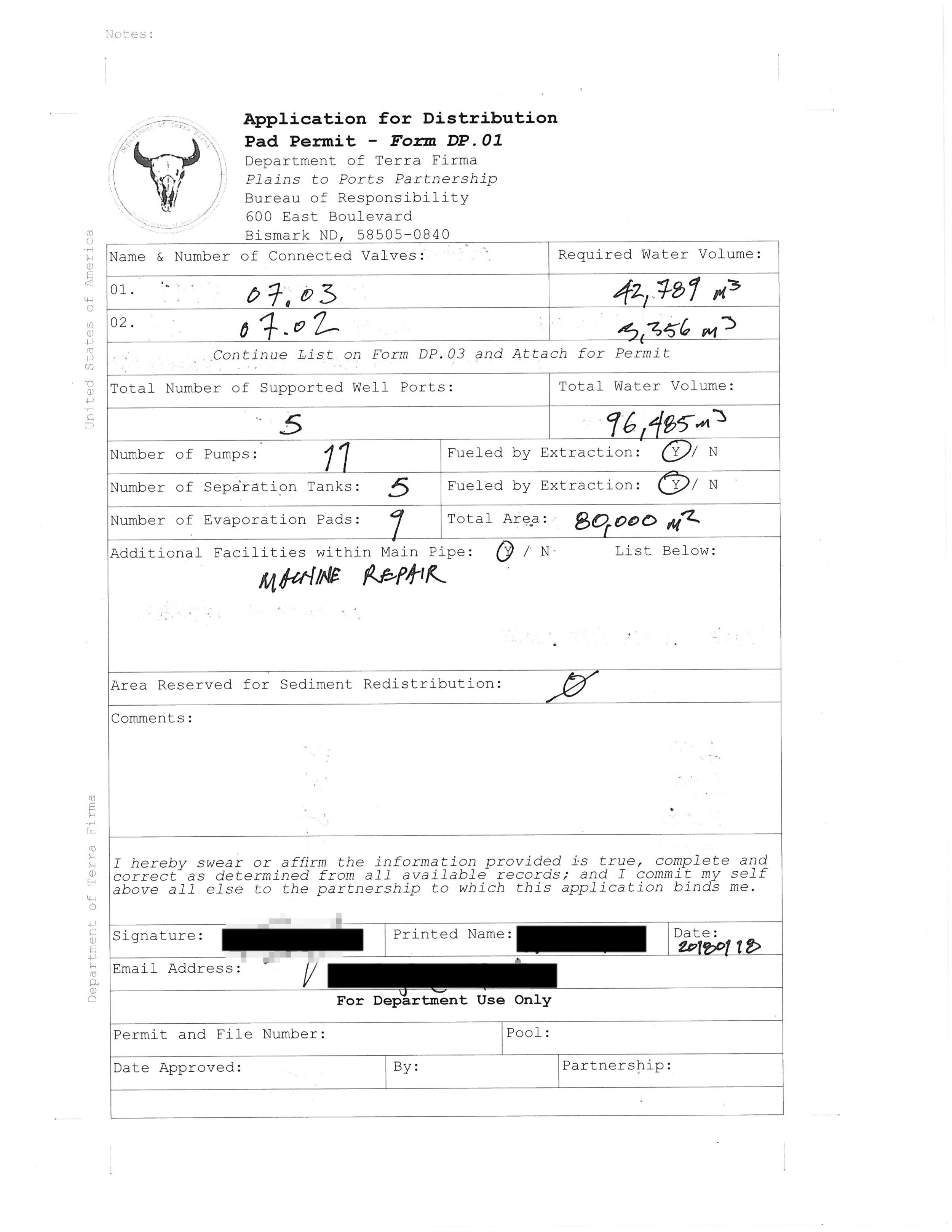
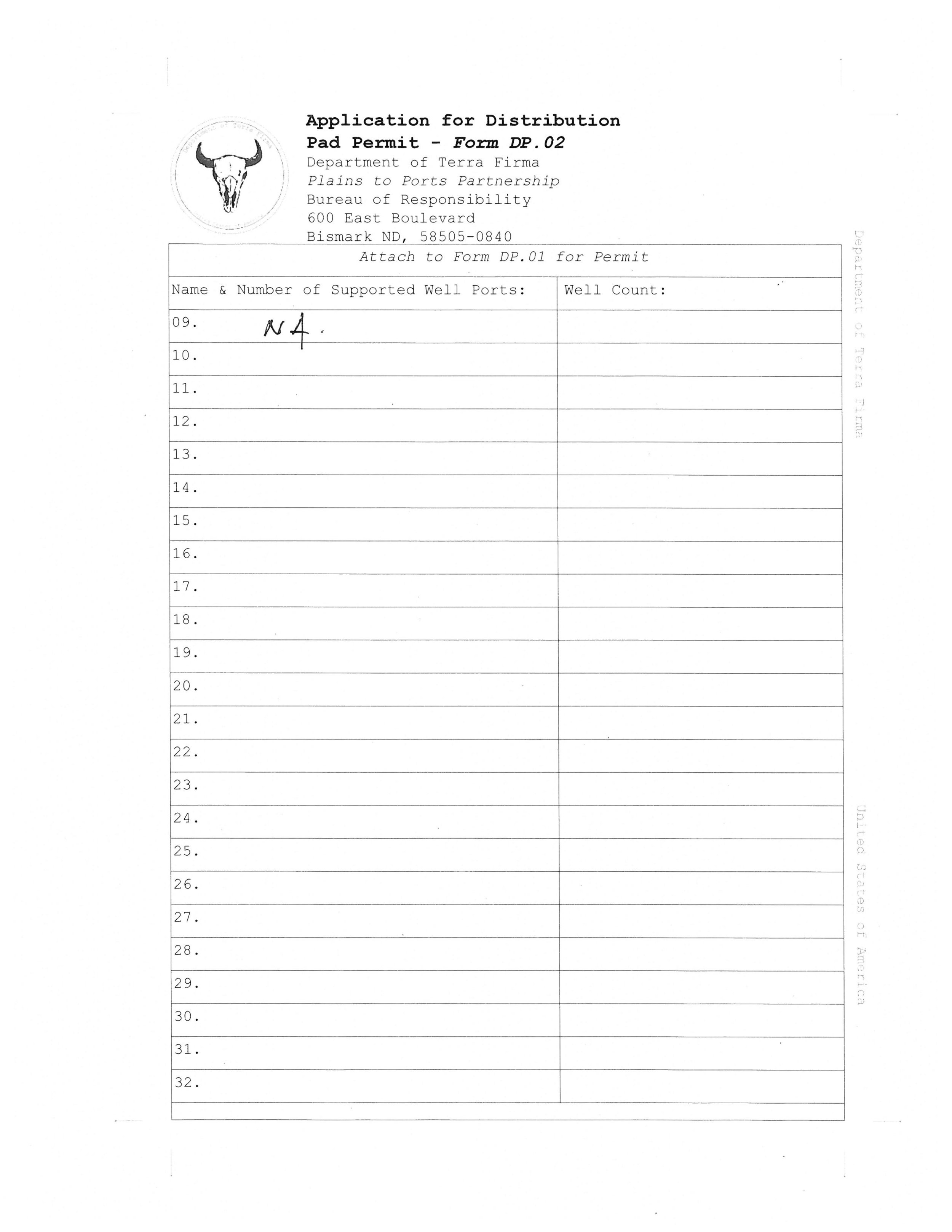
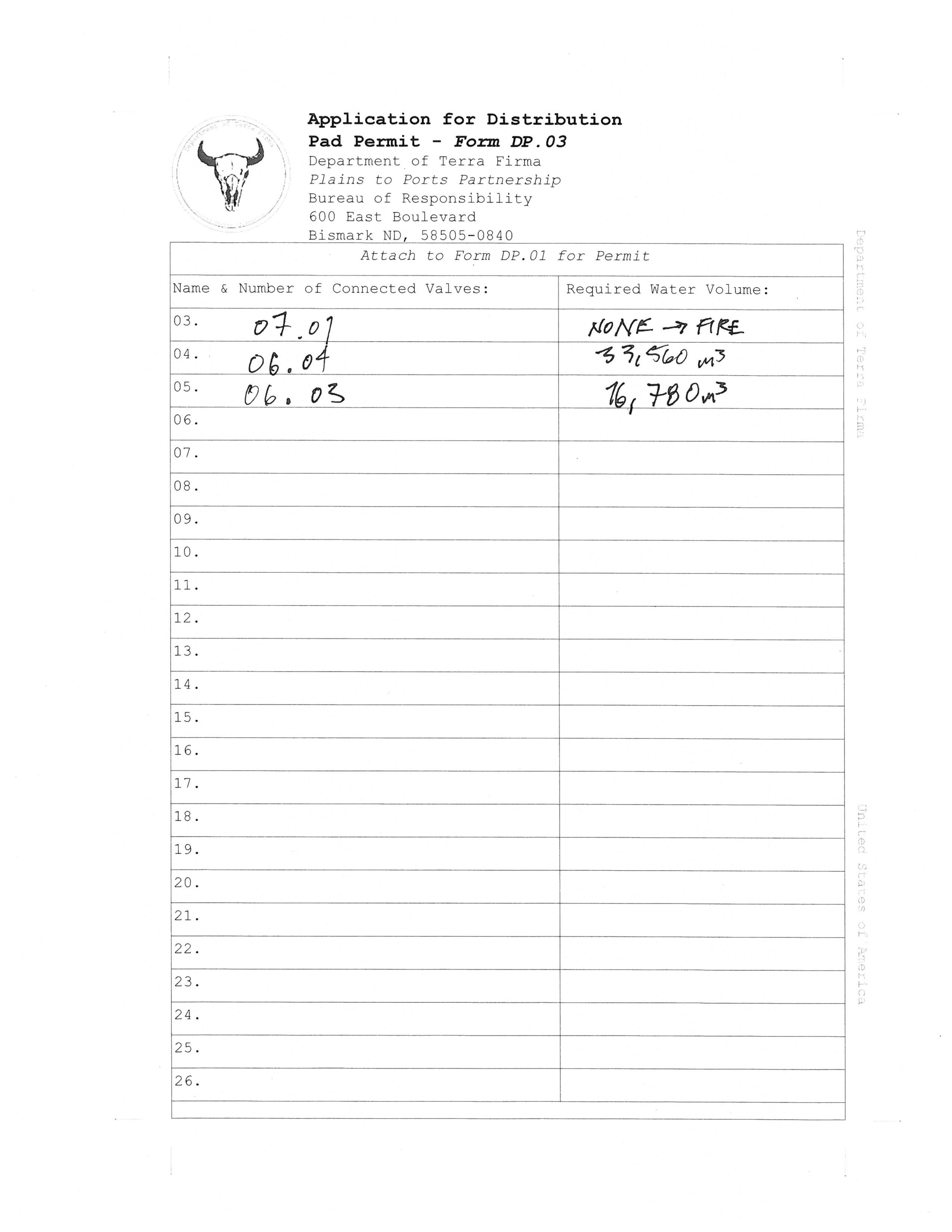
well ports
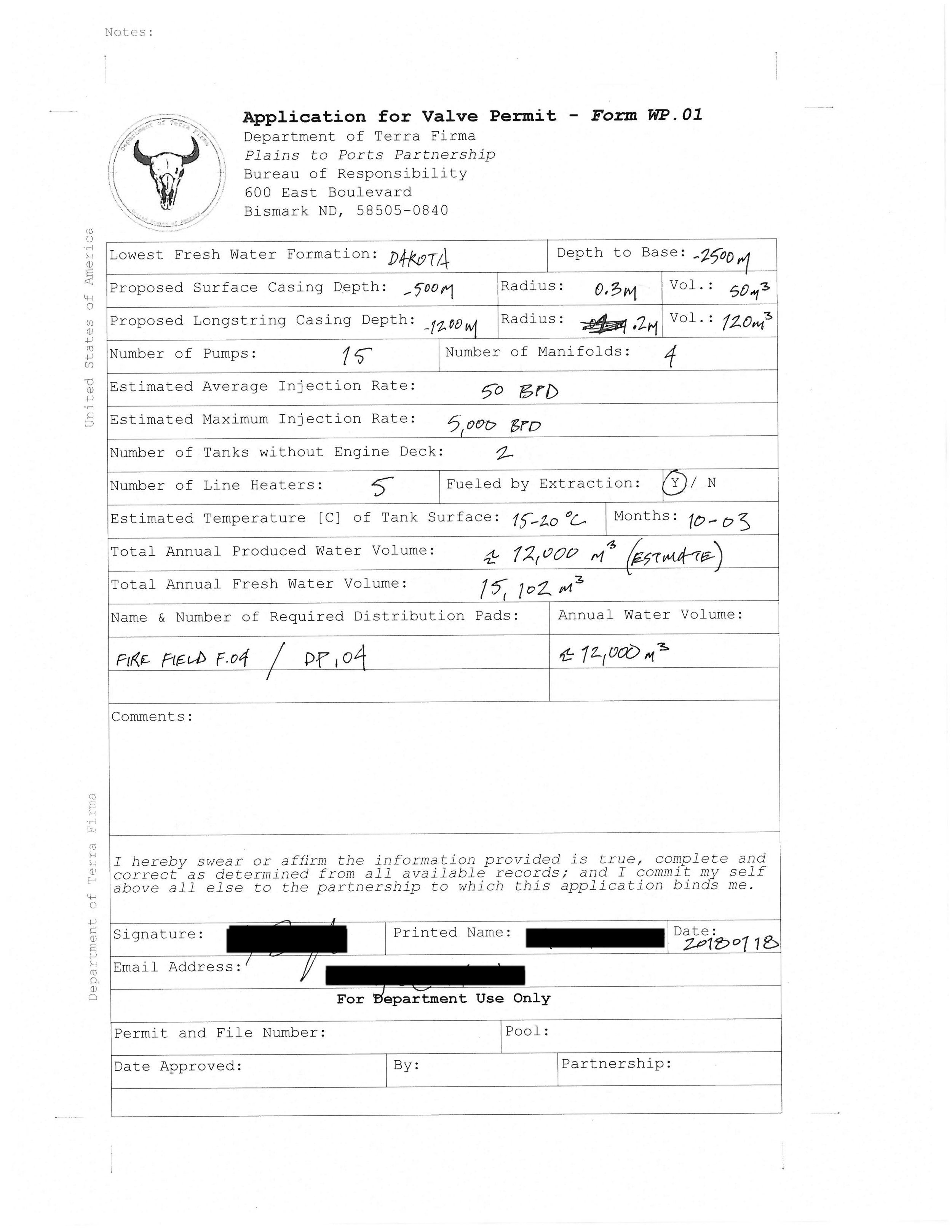

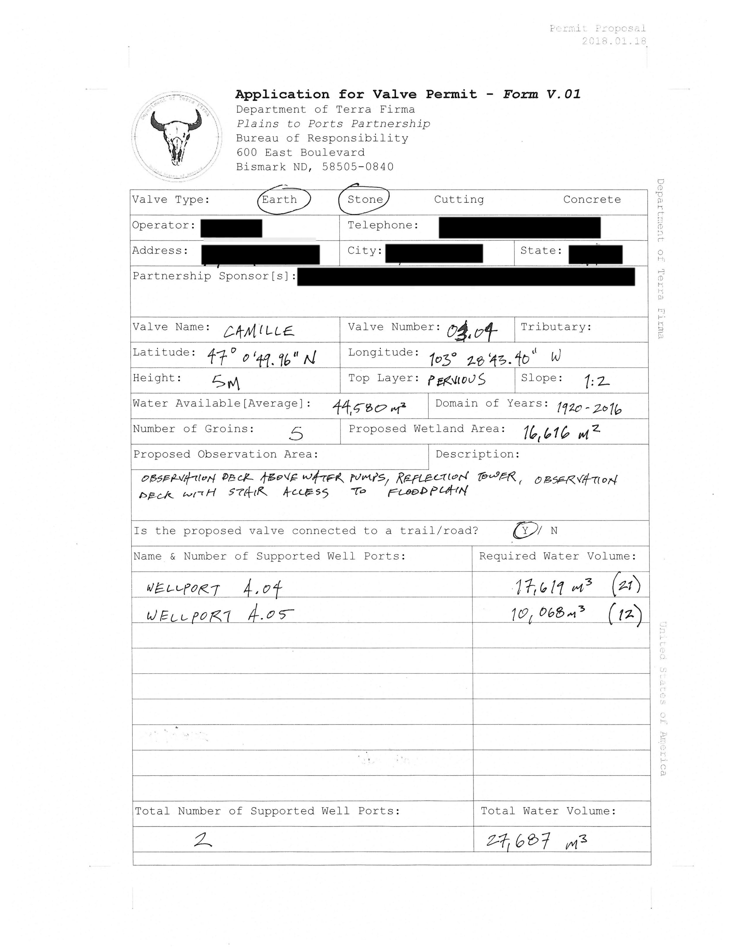
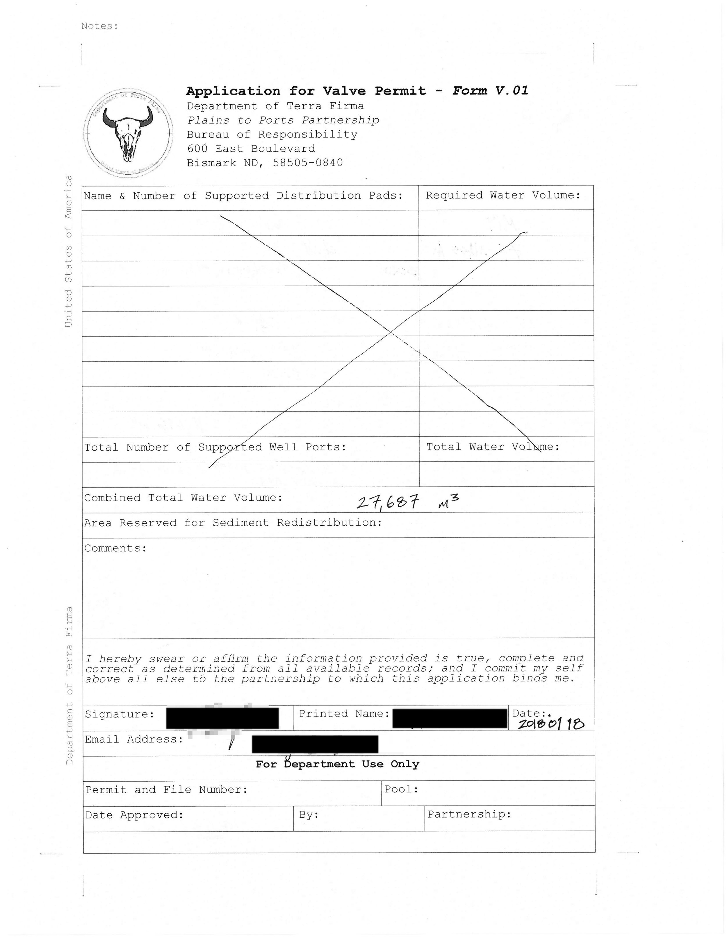
water valves

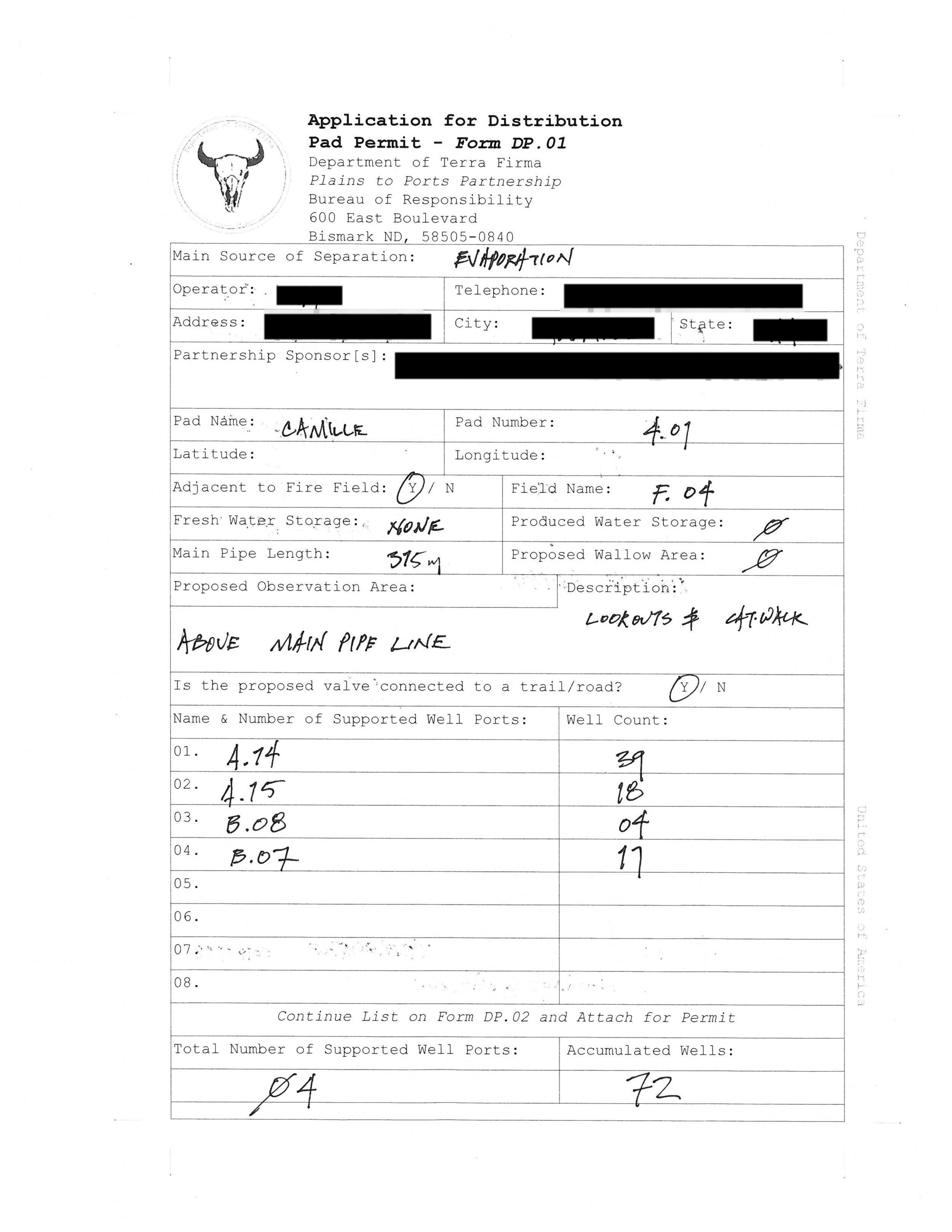
distribution pads

The text and images are edited excerpts from the published M.Arch thesis. For more information, including references, please contact the author.